Facility Solutions
- As-built Laser Scanning
- BIM - Modeling
- Condition Assessments
- Roof & Envelope Thermal Inspections
Survey & Mapping
- Aerial LiDAR Topography
- Utility Locating & Mapping
- Terrestrial Laser Scanning
- GIS Analytics & Applications
Construction Services
- Construction Management
- Utility Construction
- Design Build
- Project Consulting
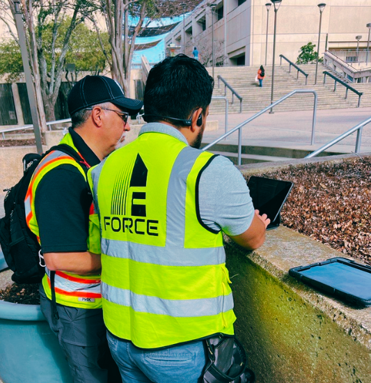
Trusted experts in military, local & federal campuses, and critical infrastructure
Construction Management & Supervision
End-to-end project delivery—preconstruction, design, cost estimating and value engineering, CPM scheduling, QA/QC, risk management, and closeout — driving on-time, on-budget outcomes.
Facility Management & Capital Planning
Certified facility management professionals (CFM) delivering Facility Condition Assessments (FCA), asset inventory database, lifecycle and capital plans, and CMMS/EAM integration to optimize operations and reduce total cost of maintenance.
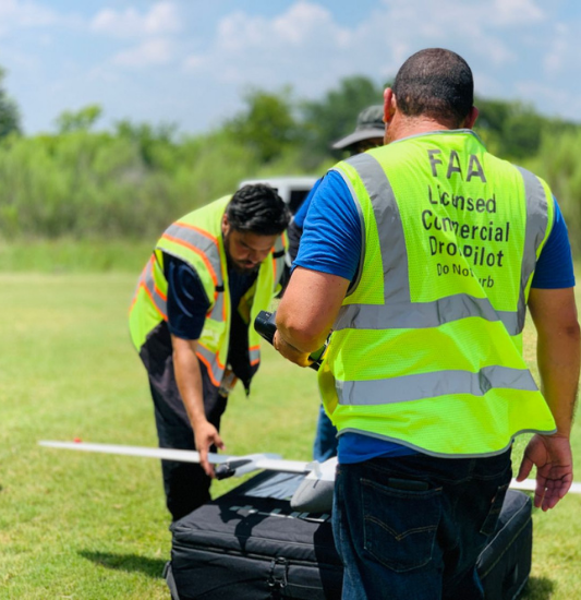
Aerial Survey, LiDAR & GIS
FAA-licensed teams using UAV LiDAR, photogrammetry, and 3D scanning to produce orthomosaics, topographic and utility mapping, progress monitoring, as-builts, and online GIS databases.


FORCE Services
- Facility Solutions
- Survey & Mapping
- Construction Services
Integrated facility solutions including laser scanning, BIM modeling, condition assessments, and roof/envelope thermal inspections for public and private entities.
Schedule a Facility Assessment


180+
Clients350+
Projects25+
States1200+
Flight MissionsPast Performance
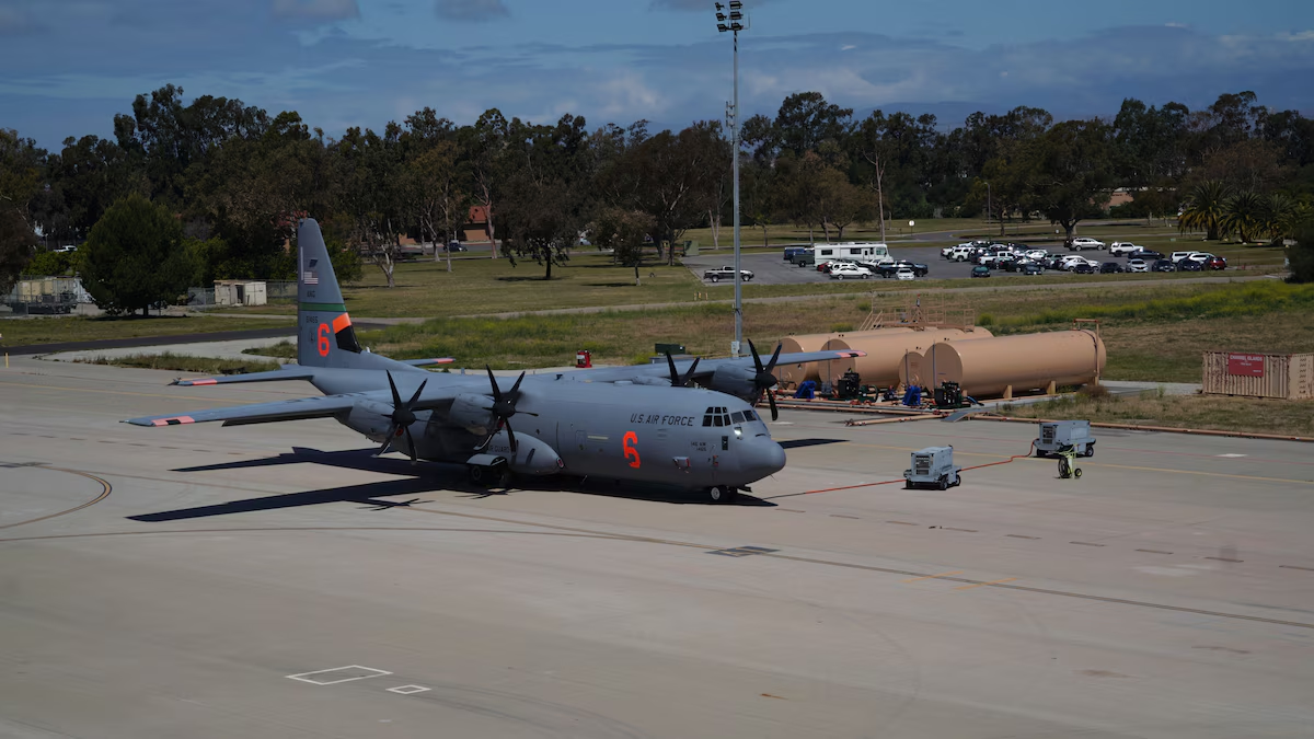
Channel Islands Air National Guard
Utility mapping and documentation to support mission-critical infrastructure at Channel Islands Air National Guard.
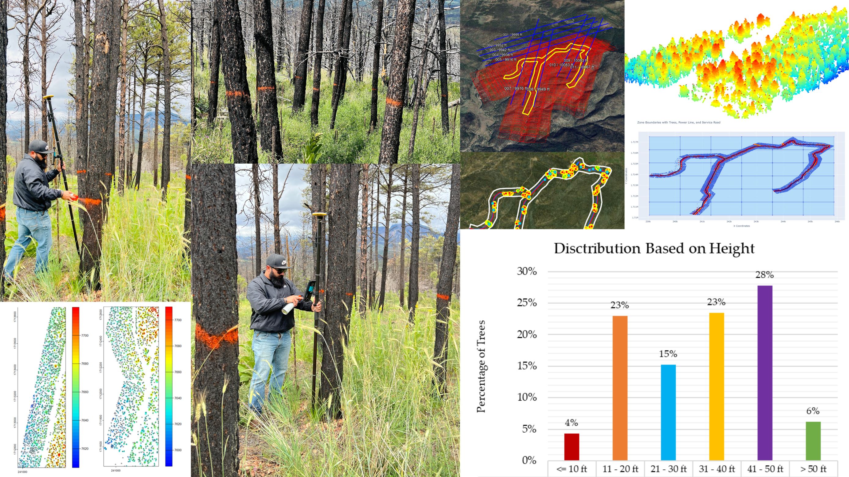
New Mexico Burn Scar - Hazard Tree Identification
LiDAR-based burned-tree inventory and prioritization; delivered as GIS-ready mitigation layers.
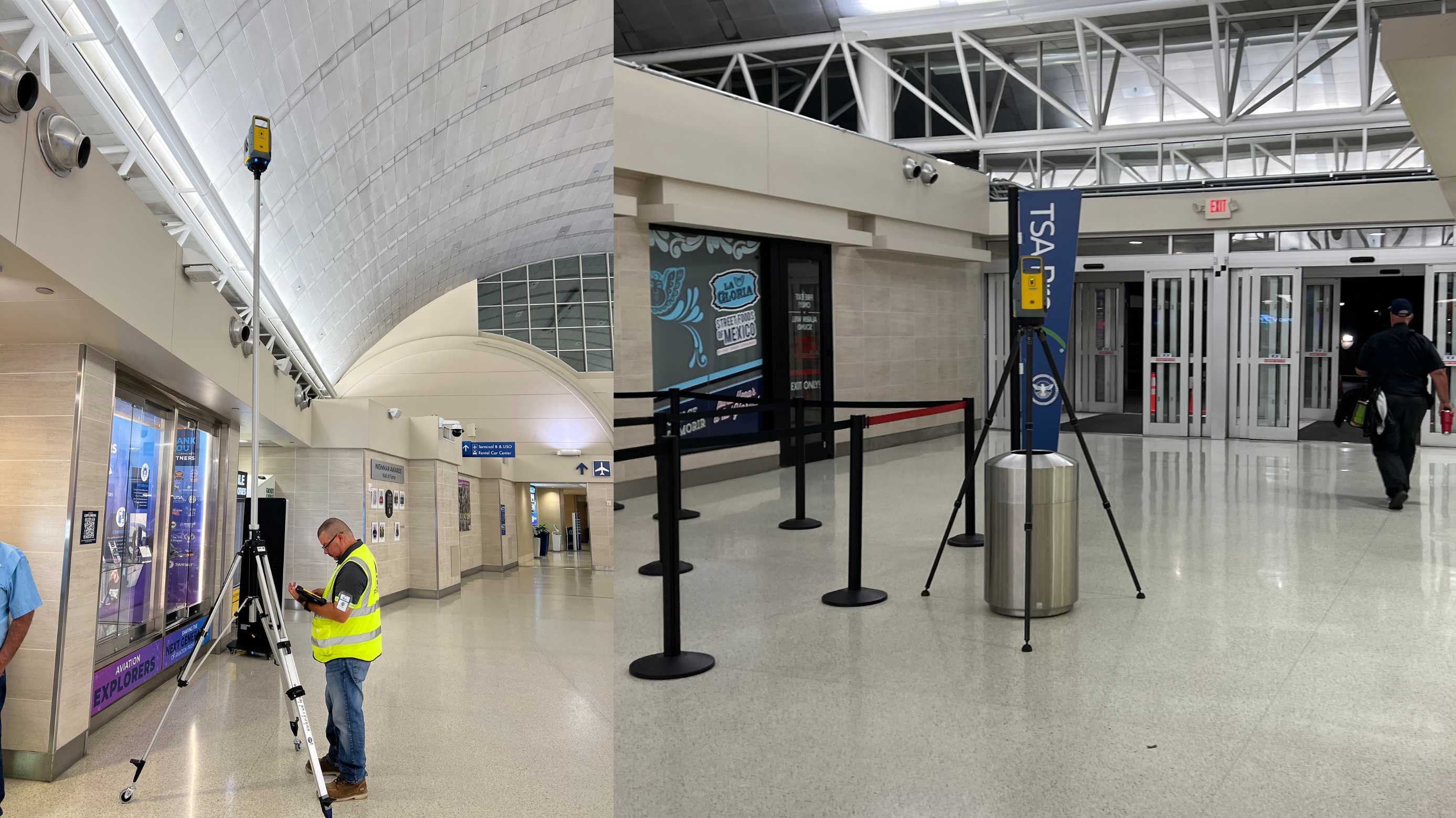
San Antonio International Airport
Interior scanning and 3D modeling of San Antonio International Airport (SAT) using state-of-the-art technology.
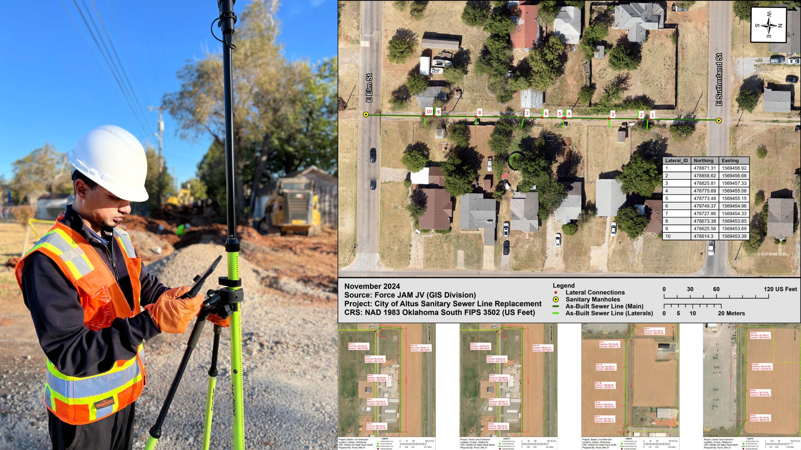
Altus Downtown Utility Rehabilitation
Roadway and utility mapping delivering precise geospatial data to guide construction and maintenance.
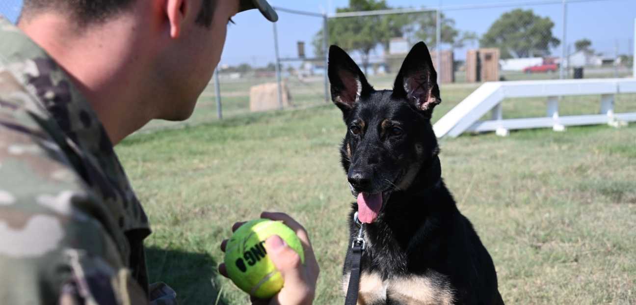
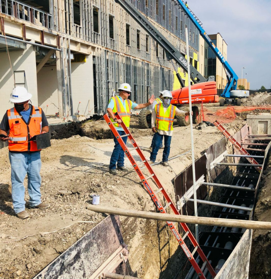
Altus Air Force Base – Dog Facility Renovation
Roadway and utility mapping delivering precise geospatial data to guide construction and maintenance.
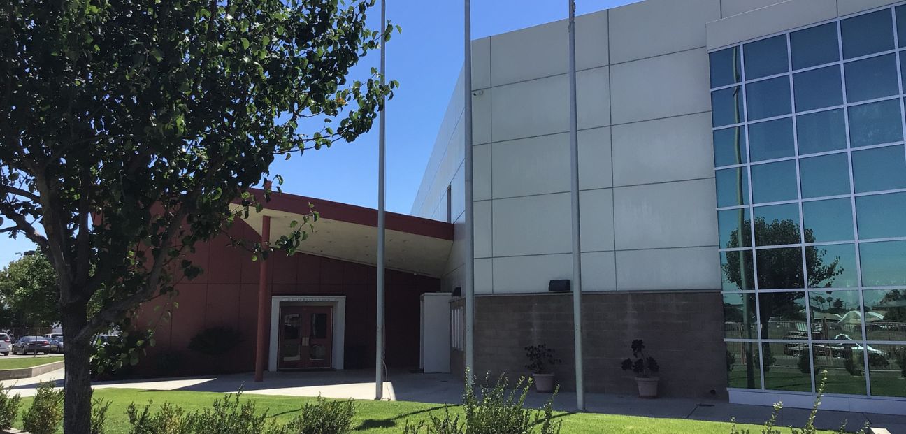
Compton School District, CA
FCA reports for the school district's 400+ buildings spanning 35+ campuses (2,859,000 SF).
Our Trusted Partners
Mike Garza
LEGACY ENGINEERINGCody Musick
WAYMAKER LLCDan Choike
MARSTEL-DAY LLC
Ed Cunningham
LLC3Brenda Garcia
LCC3Adrian Reyes
Data PointLucas Wilsing
DroneviewChris Mauldin
AllterraMike Slay
Slay EngineeringOur Network


.png "Colton Joint Unified School District")


Certifications


CODES
- 236220 Commercial & Institutional Building Construction
- 236210 Industrial Building Construction
- 237110 Water & Sewer Line and Related Structures Construction
- 237130 Power & Communication Line & Related Structures Construction
- 238210 Electrical Contractors & Other Wiring Installation Contractors
- 334310 Audio & Video Equipment Manufacturing
- 541310 Architectural Services
- 541330 Engineering Services
- 541340 Drafting Services
- 541350 Building Inspection Services
- 541370 Surveying & Mapping (except Geophysical) Services
- 541618 Other Management Consulting Services
- 541690 Other Scientific & Technical Consulting Services
- 561790 Other Services to Buildings and Dwellings